Datalink Systems VOCALIS SaaS CLOUD delivers a range of communication services for Wildfire Firefighters and Climate Catastrophe emergency teams.
Live VIDEO feed over 4G to up to 20 Monitoring Screens anywhere over I.P.Networks. Instant Video Play-Back for detailed review.
Datalink’s RedAlert SOS with GPS for Fire Fighters in distress on same Screens. Two Way Voice PTT between Monitoring Screen Personnel and Drone Operators. Monitoring Screen Personnel and Drone Operators.
Monitoring Screen Personnel and Drone Operators.
Our Drones
Market Fit
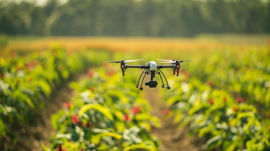
Agriculture
• Crop monitoring and health assessment.
• Precision agriculture and irrigation management.
• Pest and disease detection.
• Livestock monitoring.
• Planting and seeding
Construction and Infrastructure
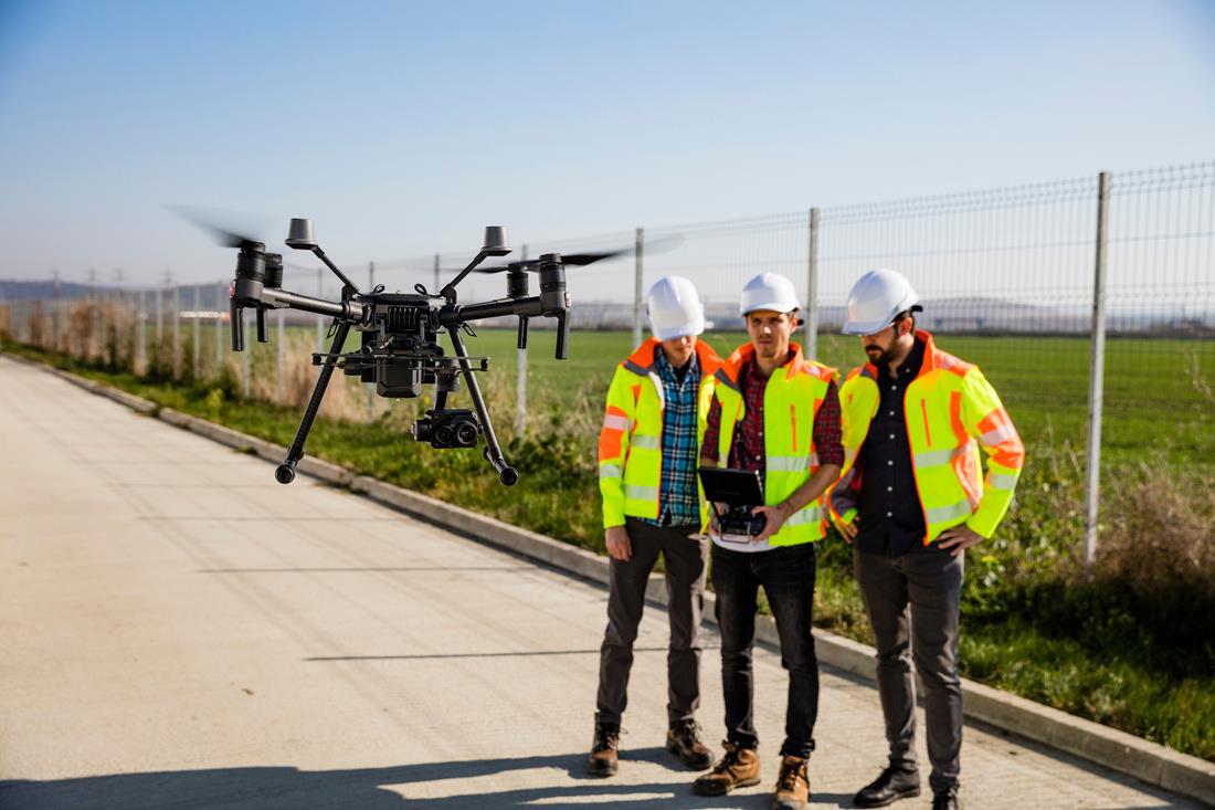
• Site surveys and mapping.
• Progress monitoring and reporting.
• Structural inspections (bridges, dams, etc.).
• Safety and security enforcement.
Energy and Utilities
• Inspection of power lines, wind turbines, and solar panels.
• Oil and gas pipeline monitoring.
• Environmental impact assessments.
• Thermal imaging for leaks and faults.
Telecommunications
• Tower inspections and maintenance.
• Network planning and line-of-sight checks.
• Infrastructure deployment in hard-to-reach areas.
Mining and Quarrying
• Mapping and surveying of mines.
• Stockpile volume measurement.
• Safety monitoring in hazardous areas.
Transportation and Logistics
•Drone delivery of goods and packages.
• Traffic management and monitoring.
• Railway and highway infrastructure inspections.
Real Estate and Urban Planning
• Aerial photography for marketing properties.
• Land surveys and property boundary assessments.
• Smart city planning and 3D modeling
Drones
• Middleware “add-on” Routes Video feed to up to 20 remote screens.
• PTT two-way voice between Commmand Stations and Drone Pilots.
• Works with DJI 4G Modules. infrastructure inspections.
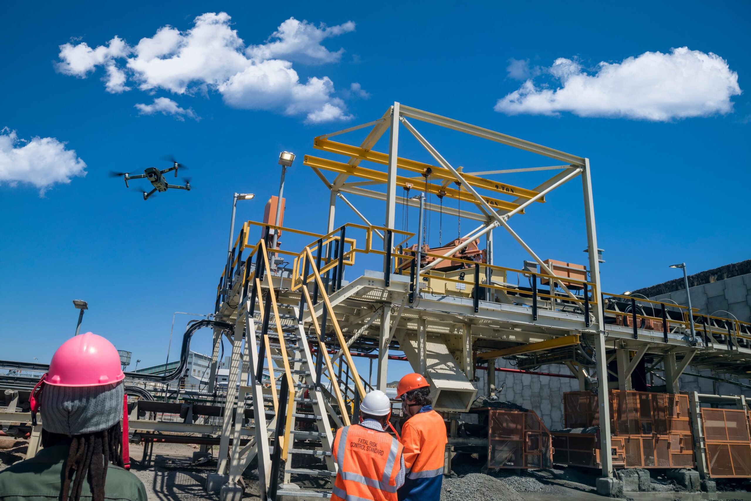
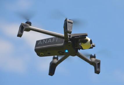
Public Safety and Emergency Services
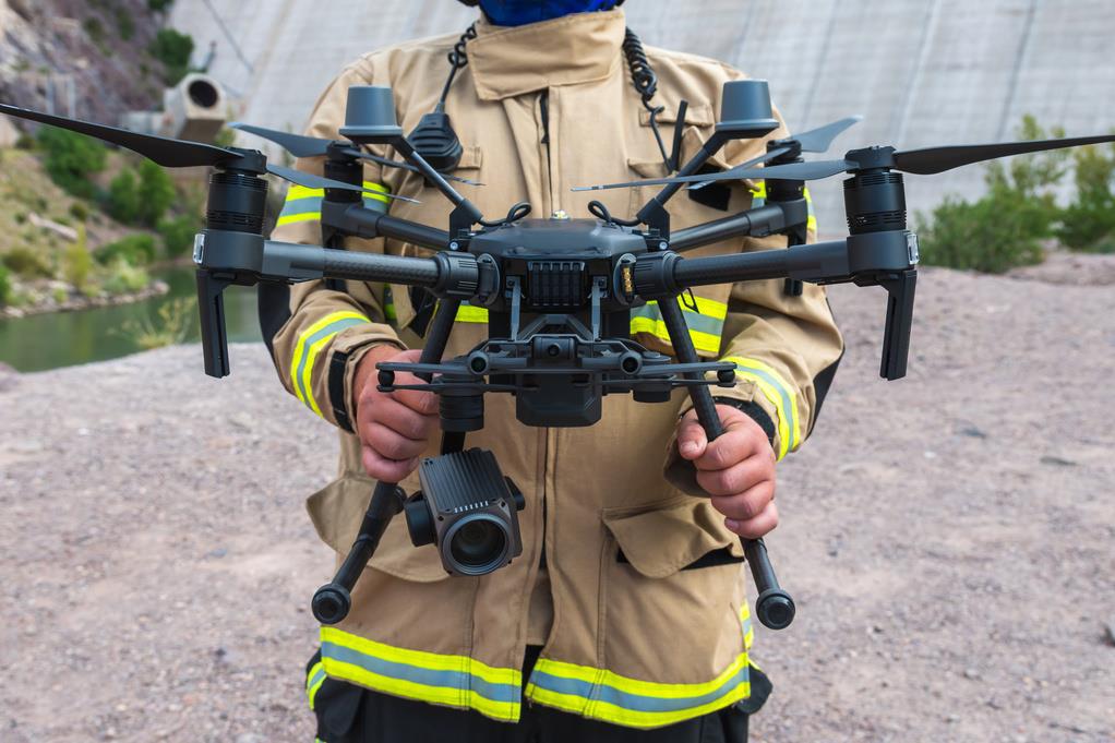
• Search and rescue operations.
• Firefighting and thermal imaging.
• Disaster assessment and relief efforts.
• Law enforcement and surveillance.
Insurance
• Damage assessment for claims processing.
• Risk surveys for underwriting.
• Post-disaster inspections
Environmental Monitoring and Conservation
• Wildlife tracking and protection.
• Forest health monitoring and illegal logging prevention.
• Ocean and coastal surveillance.
• Climate research and atmospheric data collection.
Fishing and Marine Industries
• Fish population monitoring.
• Oceanographic research.
• Illegal fishing surveillance
Defense and Security
• Border patrol and surveillance.
• Reconnaissance and intelligence gathering.
• Explosive ordinance disposal (EOD).
• Tactical military operations
Forestry and Land Management
• Deforestation tracking and control.
• Forest fire detection and mapping.
• Reforestation planning.
Problem
The Problem
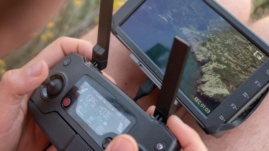
Drones have become indispensable tools across a wide range of
industries and markets. They are used to solve problems, improve efficiency, and provide innovative solutions, however, the limiting factor in most cases has been that only the operator can see the
drone’s imagery.
Wireless Network Technologies were either too expensive or two low in bandwidth to process and transmit live video between
Drone controllers and remote monitoring screens
Solution
The Solution
Today, VOCALIS delivers high speed broadband video streaming service over 5G & 4G cellular and Starlink networks to video screens anywhere.
VOCALIS also allows two-way PTT voice communications between remote command desks and on-ground Drone Operators, plus live GPS tracking and RedAlert SOS emergency alerts for operators in distress.
VOCALIS can route live video feeds to up to twenty remote computers allowing recording – playback and detailed area scrutinizing.
VOCALIS is a SaaS “add-on” service, compatible with most professional Drones. Currently under development is an interface to DJI Drone models with the 4G “add-on” Module. Planned release date, is mid-February.

VOCALIS
Let Us Bring You The Solutions You Need

Cloud Based Solution
Datalink’s VOCALIS Cloud Based Solution

AES-256 Bit Encryption

Compatible with IOS and Android

STARLINK COMPATIBLE
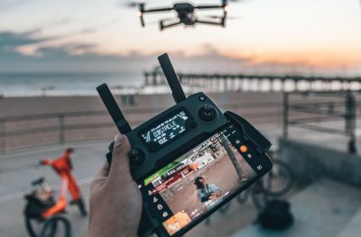
Drone Video Streaming over 4G. Unlimited Range

Simultaneous Multi-Screen Viewing over the Internet
